


Select NEW ENGLAND ETCHINGS Page 1
page 2
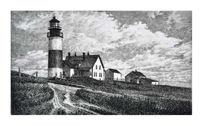
Old Sankaty Head Light
1997 6 x 10 inches edition: 100
A view of Nantucket’s Sankaty Lighthouse before the keepers quarters were removed.
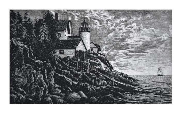
Old Bass Harbor Head Light
1996 6 x 10 inches edition: 100
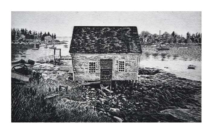
Cozy Harbor
1996 6 x 10 inches edition: 100
This little village sits on Southport Island near Boothbay, Maine.
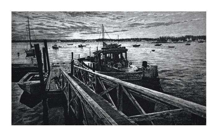
Sunset on Boothbay Harbor
1996 6 x 10 inches edition: 100
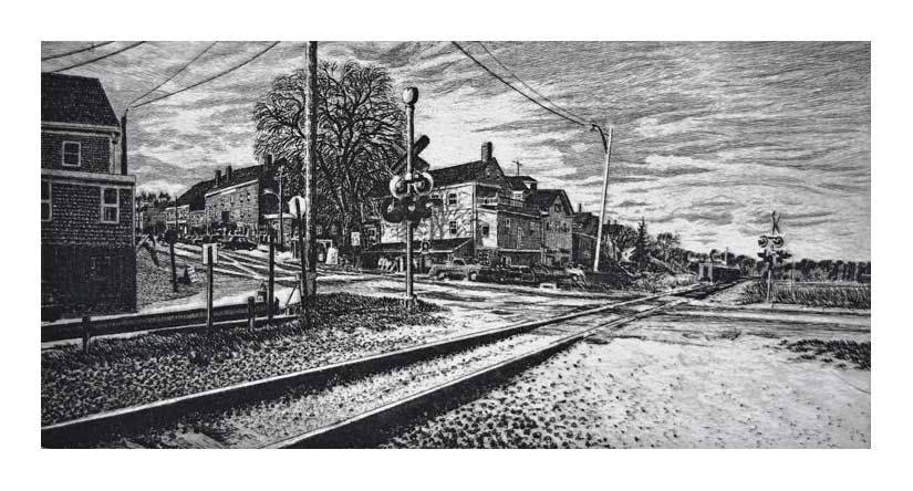
Wiscasset
1996 6 x 12 inches edition: 100
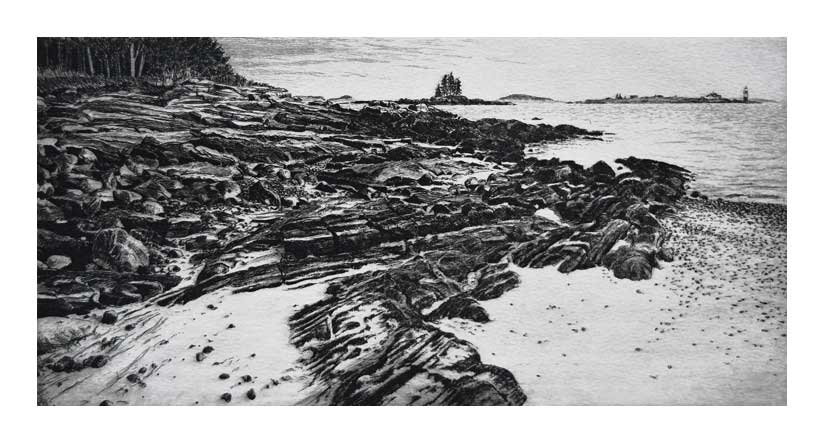
Ram Island from Linekin Neck
1996 6 x 12 inches edition: 100
South of East Boothbay past the tip of Linekin Neck sits the Ram Island Lighthouse in Maine
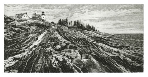
Pemaquid Point Light
1996 6 x 12 inches edition: 100
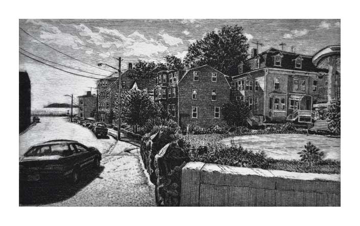
Gloucester
1996 6 x 10 inches edition: 100

Flying Horses
1996 6 x 10 inches edition: 100
The Flying Horses carrousel in Oak Bluffs, Marthas Vinyard has been in continuous operation since 1876.
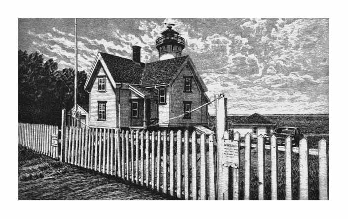
West Chop Light
1996 6 x 10 inches edition: 100
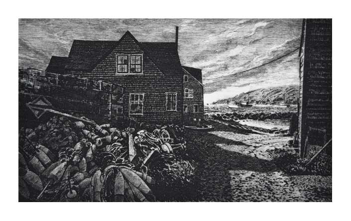
Fish Beach
1995 6 x 10 inches edition: 100
A rare sandy beach on rocky Monhegan Island.
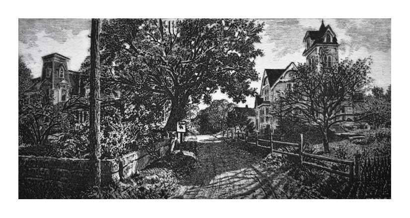
Vinalhaven Way
1995 9 x 12 inches edition: 100
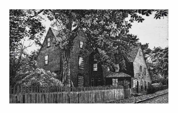
The House of the Seven Gables
1995 6 x 10 inches edition: 100
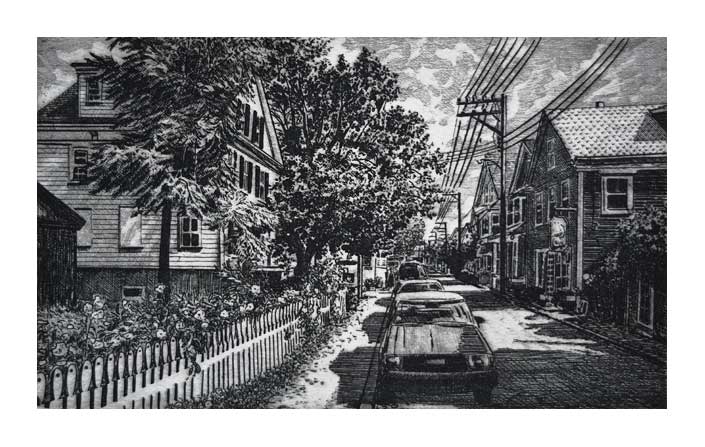
Gallery Row - Provincetown
1995 6 x 10 inches edition: 100
A scene on Commercial Street in Provincetown’s East End.
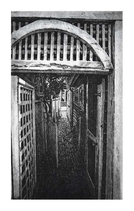
Hidden Way - Provincetown
1995 10 x 6 inches edition: 100
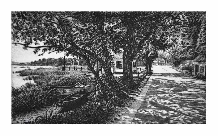
Shaded Way - Duck Creek
1995 6 x 10 inches edition: 100
A scene along the marshes at Wellfleet, Cape Cod.
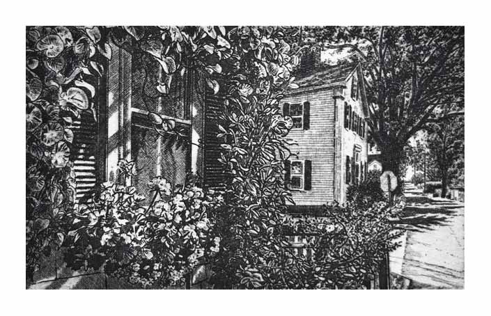
Davis Lane - Edgartown
1995 6 x 10 inches edition: 100
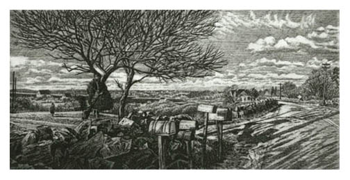
Chillmark
1995 6 x 12 inches edition: 100
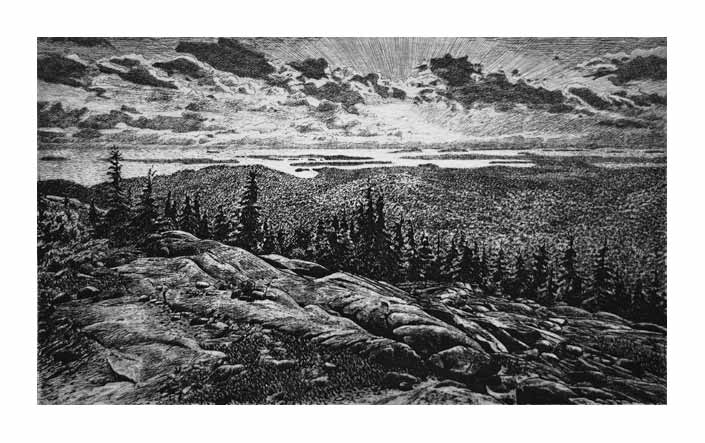
Cadillac South Ridge
1994 6 x 10 inches edition: 100
A view from Cadillac Mountain, Maine.
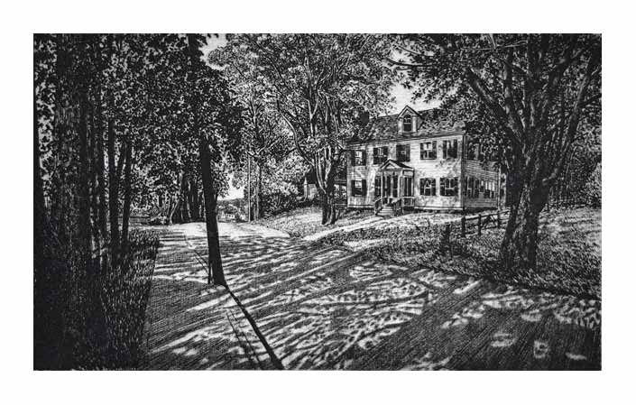
Clark Point Road
1994 6 x 10 inches edition: 100
A view in Southwest Harbor, Maine.
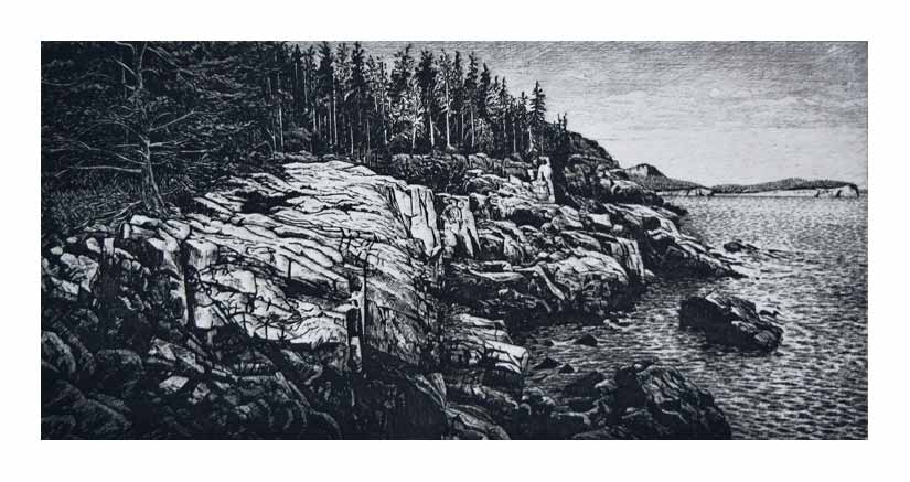
Otter Cliffs
1994 6 x 12 inches edition: 100
The high cliffs on Frenchman Bay, Arcadia National Park.
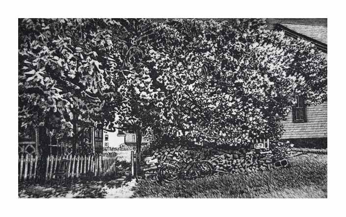
Lilac Arbor - Peaks Island
1994 6 x 10 inches edition: 100

Noank
1994 6 x 10 inches edition: 100
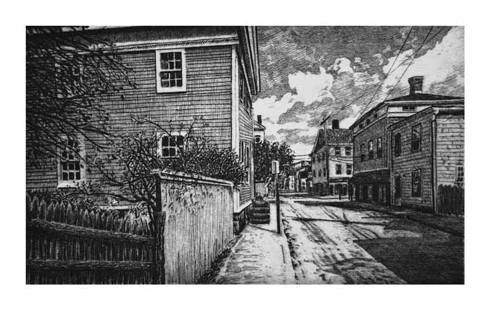
Grand Street - Stonington
1994 6 x 10 inches edition: 100
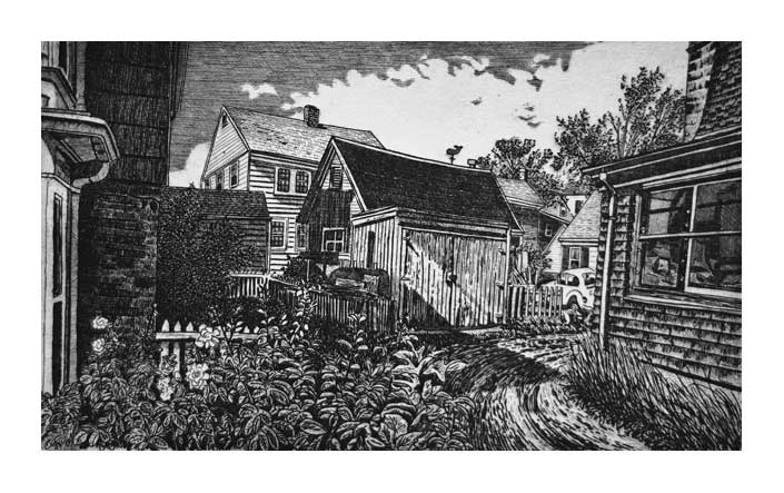
Back Alley - Provincetown
1994 6 x 10 inches edition: 100
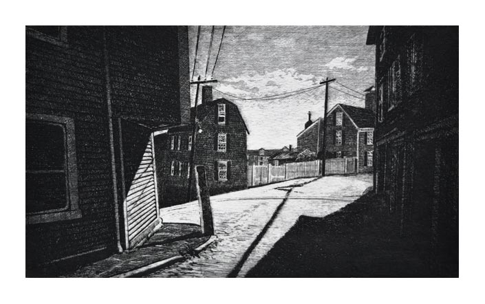
Marblehead
1993 6 x 10 inches edition: 100
Legend has it that the corner of this building was removed to accomodate the carrage of Lafayette when he visited the town in 1784. It was more likely altered to make room for the rum wagons coming up from the docks.
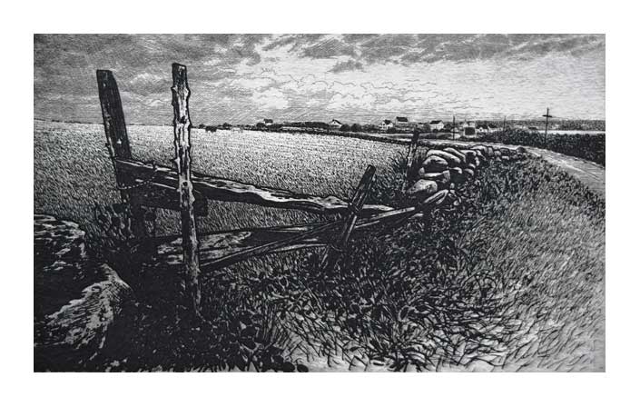
Corn Neck Road
1993 6 x 10 inches edition: 100
A view on Block Island
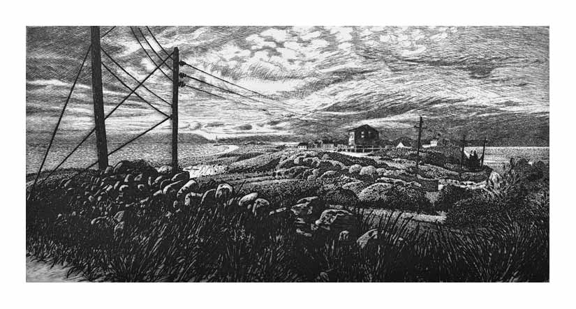
Charlestown
1993 6 x 12 inches edition: 100
An old fishing community known as Charlestown (sometimes Charleston) one stood here. Now summer cottages line the road to this Storm Warning Tower on Block Island.
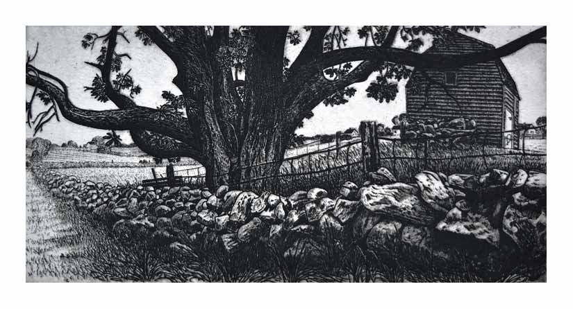
The Old Chestnut
1993 9 x 12 inches edition: 100
An old lane on Block Island
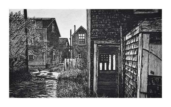
Siasconset
1992 6 x 10 inches edition: 100

Copyright 2009 Alan Petrulis All Rights Reserved
